Travelogue
|
My friends and I drove the Alaska Highway. . . and we survived! by Vic Battad, UPLB'68a
One of my hobbies is to take a long drive through the countryside once a year either with my family or my friends. The original plan for last year was to visit Vilma’s friends at Dawson Creek, BC to honour their invitation. As I was doing some research about the place, I found out that Dawson Creek is Mile 0 of the world famous Alaska Highway. I searched further about the history of the Alaska Highway, and I became obsessed about driving the highway to see the 1,500 miles of highway built by 30,000 military and civilian personnel in just eight months --- one group starting at Delta Junction near Fairbanks, Alaska and the other group at Dawson Creek, British Columbia --- and eventually, would meet at one point. Later, the place where the two groups finally met was called Contact Creek. According to history, the Alaska Highway was built in 1942 in order to connect the 48 states (Mainland USA) to Alaska in case Alaska would be attacked by the Japanese and blocked the sea route.
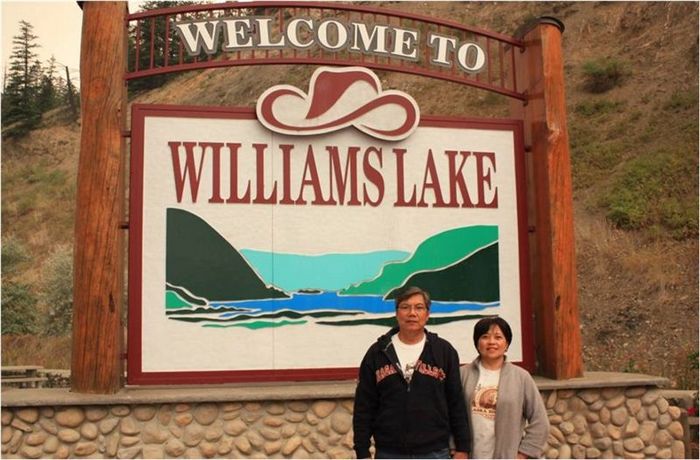
The first leg of the journey was from Vancouver to Dawson Creek passing though the Fraser Canyon, the Cariboo and the Hart highways and the cities of Cache Creek, Williams Lake, 100 Mile House and Prince George. It took us fifteen (15) hours to drive this 1,190 km or 750 mile stretch with three of us (together with my two friends) taking turns in driving.
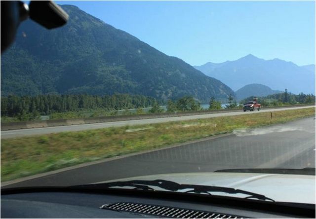
The mighty Fraser River at the left side of the road is famous for salmon fishing in North America. Fraser Valley, an hour drive from Metro Vancouver, is the salad bowl and dairy farm of British Columbia.
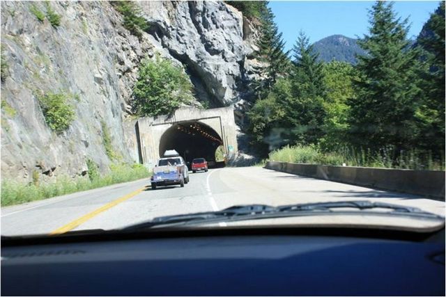
Along Fraser River Canyon Highway
A tunnel in Hope, BC --- one of the eight tunnels along the Fraser Canyon Highway
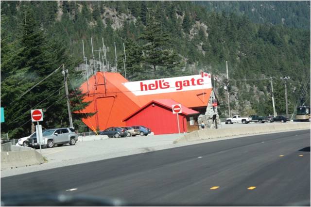
The Hell’s Gate is a narrow and almost vertical cliff which claimed the lives of some members of the party of Alex Fraser while exploring the mighty river and surveying the Pacific route for the Canadian National Railway.
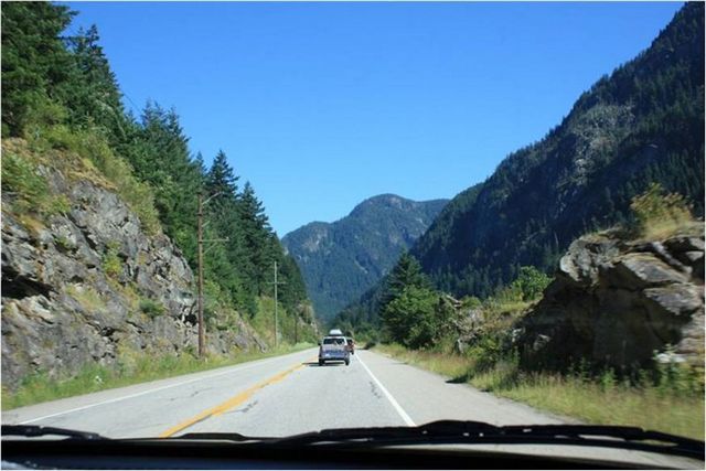
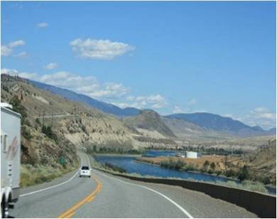
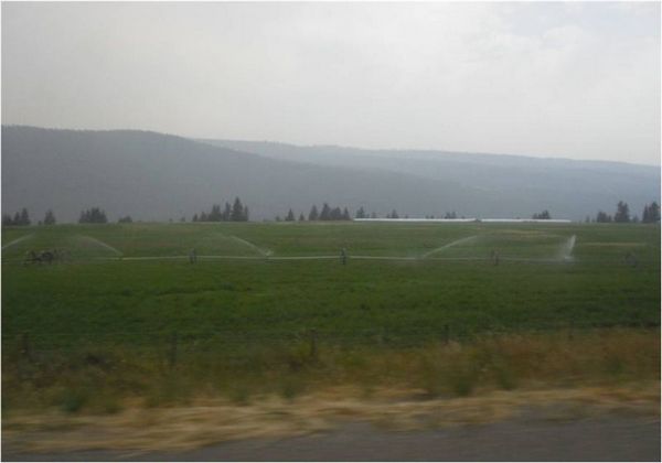
After Cache Creek, the highway becomes the Cariboo Highway. It traverses the Fraser plateau where ranch lands abound. The Cariboo Region is a diverse land of dense forests, mountain lakes, arid lands, rugged canyons and open plains. It is also a part of the Gold Rush era.
The Cariboo Highway
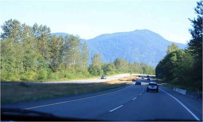
The Stone Mountain National Park located northeast of Prince George. The Hart Highway crosses the Rocky Mountain Trench at the Parsnip River. The road crosses the Rockies from west to east at Pine Pass. Rivers on this side flow towards the Pacific Ocean and rivers at the other side flow to the Arctic Ocean.
From Prince George, we crossed the Pine Pass, sometimes called “The Gap” to go to the eastern side of the Canadian Rockies and reached Dawson Creek after 15 hours of driving.
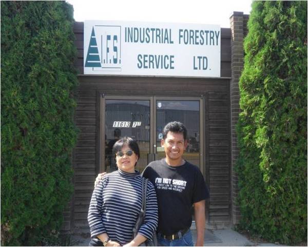
We finally reached our first stop which was Dawson Creek, BC. Our generous hosts Tony Pega and wife Dorothy, also foresters from UP Los Banos, pose with Vilma.
Posing in front of the office of Tony Pega at Dawson Creek, BC
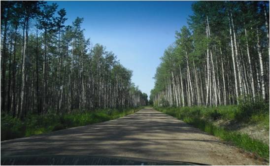
Trees line the Industrial Forest at Dawson Creek
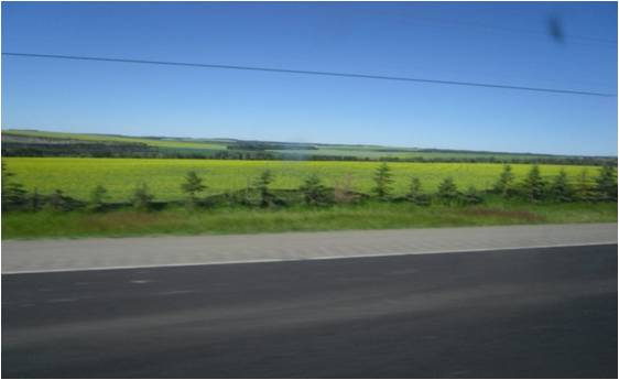
Canola fields, source of Canola oil, abound in Dawson Creek
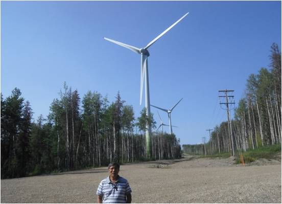
Wind farm at Dawson Creek --- there are 38 of these wind mills in this farm. Each wind turbine produces around 1.2 megawatts of power. Another wind farm with the same magnitude is being built at the nearby town of Chetwynd.
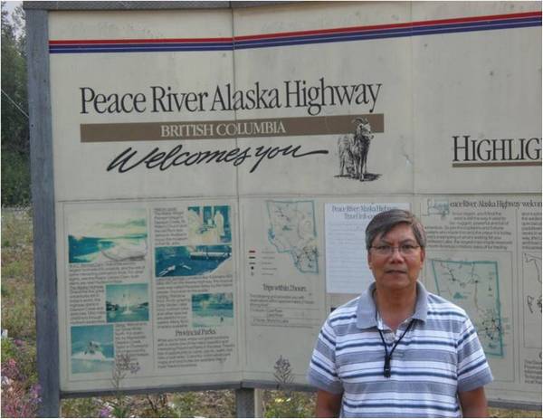
Posing at the Mile 0 monument in windy Dawson Creek, BC
The second leg of the trip was the Alaska Highway from Dawson Creek, BC to Whitehorse, Yukon Territory with a distance of 1,400 kms/875 miles (20 hours). During summer, there is daylight until 10 PM or 11 PM as you go further north, so one can travel longer. The route passes through the Peace River Region of British Columbia noted for its fertile valleys, pasture lands, great lakes and rivers, and rugged mountain ranges. The main products of the region are canola oil, lumber, petro oil, gas and beef.
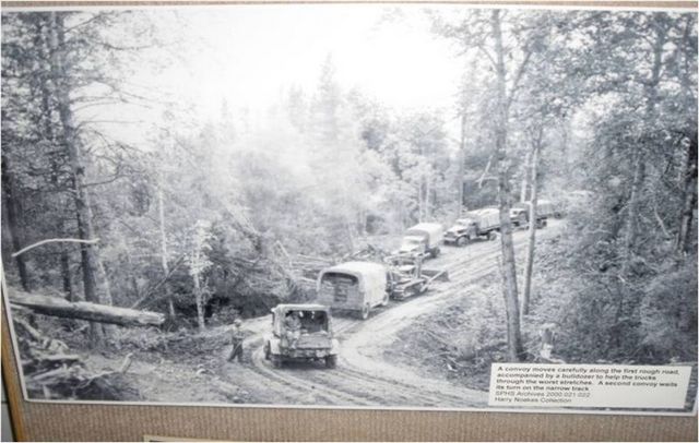
The Alaska Highway under construction in 1942. The picture was preserved at the Dawson Creek Museum.
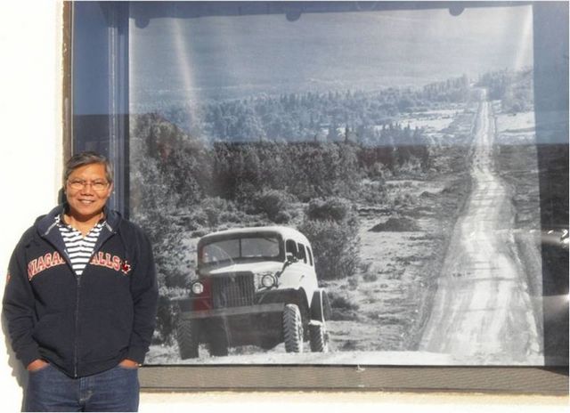
The Alaska Highway after it was built during World War II.
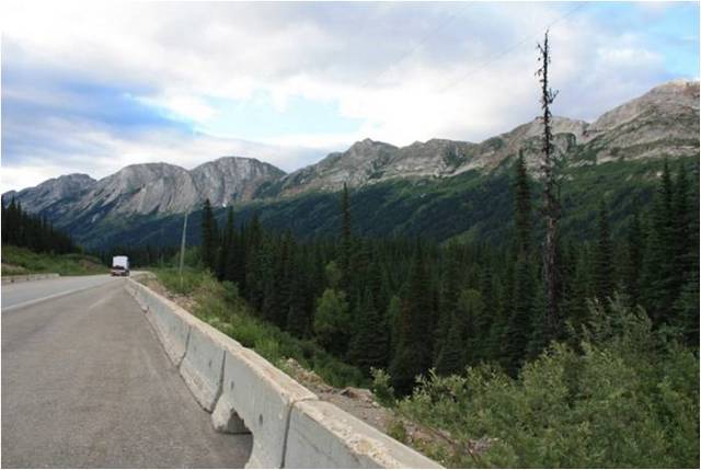
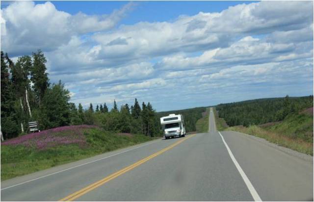
The Alaska Highway now --- paved all the way from BC to Alaska.
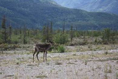
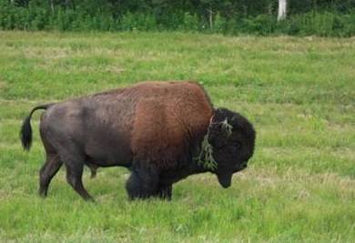
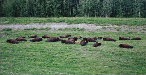
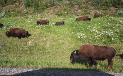
From Fort Nelson (100 miles from Dawson Creek), one starts to get a feeling of excitement for the great expanse traversed by the Alaska Highway. Be alert to watch out for wandering wildlife like wild buffalo or bison, deer, caribou, moose, bear, etc.
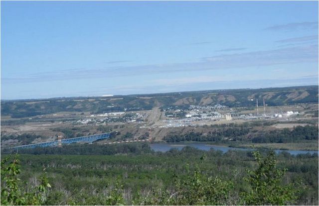
A view of the Peace River Plateau. The dotted red/white line beside the bridge is a gas pipeline to Prince Rupert along the Pacific Ocean
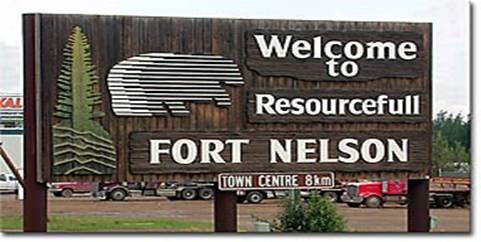
Situated at Mile 300 on the Alaska Highway is Fort Nelson.
Fort Nelson is a major town and stopover destination for travellers leaving British Columbia for the Yukon and Alaska beyond. Named after Admiral Nelson, the original settlement in Fort Nelson was a North West Company fur trading post, established in 1805.
Fort Nelson's economy was once based on the fur trade, but the modern thriving community of today relies heavily on lumber and natural gas as the mainstay of its economy, with an increasing emphasis on transportation and tourism.
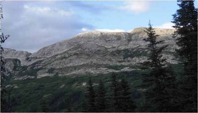
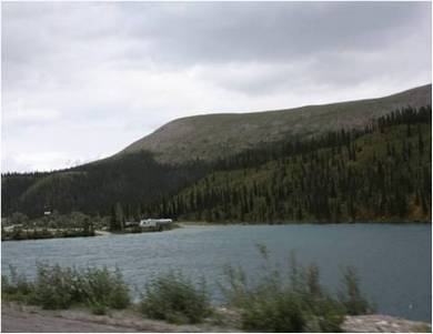
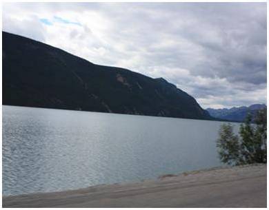
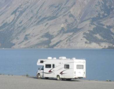
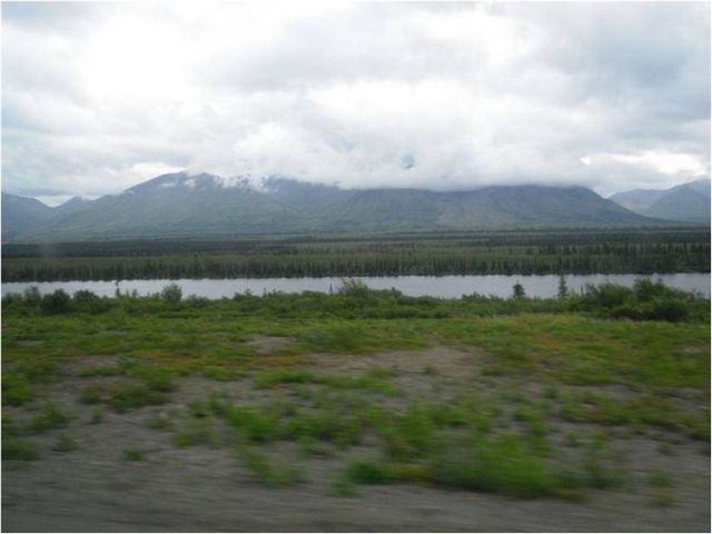
Photos of lakes and mountains along the way. These are favourite camping grounds or rest areas for campers travelling the Alaska Highway.
Different wildlife that we saw along the way. This place is sometimes called the “Serengeti of North America”.
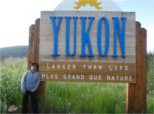
Yukon Territory takes its name from the Loucheux Native name Yu-kun-ah for the "great river" which drains most of its area. It shares a common border and many characteristics with its American neighbour, Alaska. Historically, it is associated with the great Klondike gold rush. The Yukon Territory covers 483,450 square kilometres in the far north western part of mainland Canada. The Yukon province is large enough to hold the four states of California, Arizona, Delaware and West Virginia.
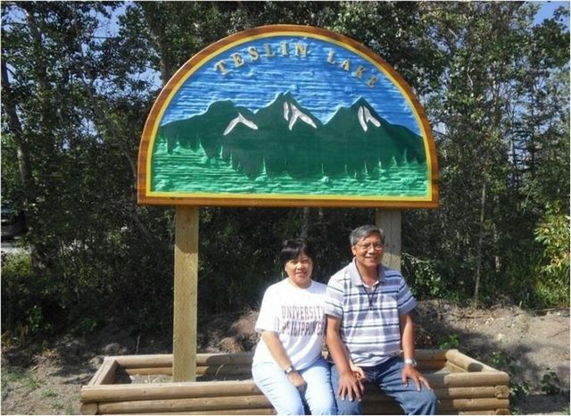
Teslin Lake in Yukon is 92 miles long. At the north end of the lake is the Nisutlin Bay Bridge, the longest water span on the Alaska Highway at 584m/1,916 ft.
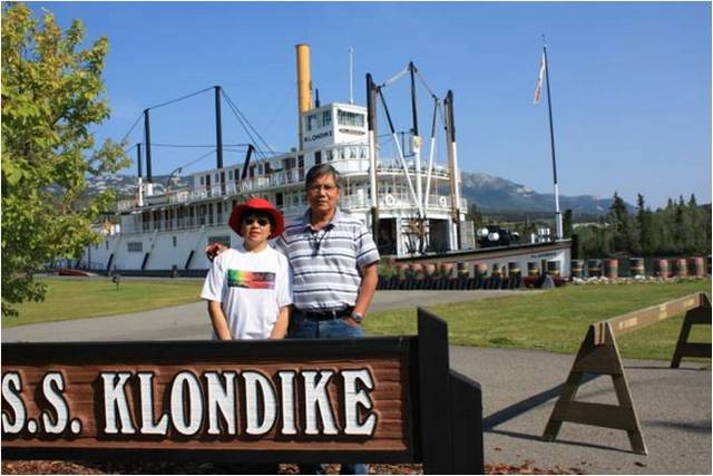
The SS Klondike was used to ferry prospectors and miners during the Gold Rush. It is now a museum at Whitehorse, capital of the Yukon Territory. There were quite a number of Filipinos at Whitehorse, mostly working at department stores like Canadian Tire and fast food outlets.
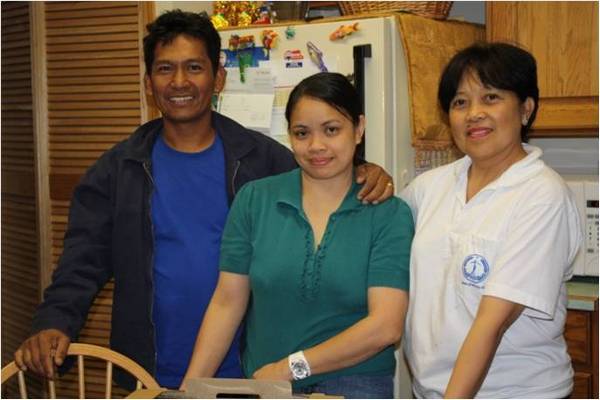
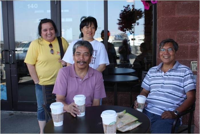
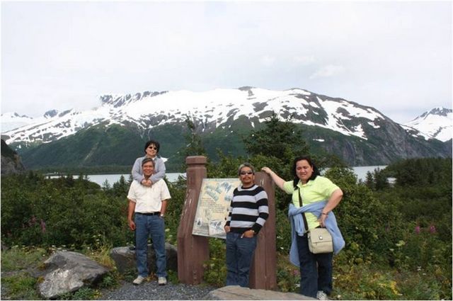
Enjoying a coffee break at Whitehorse, Yukon Territory with our friends Rica and Ding. Rica’s husband, Jun, the other driver, was the one taking the picture.
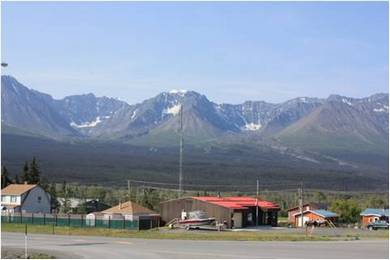
Part of the Alaska Mountain Range as seen from Yukon
The third and last leg of the trip was from Whitehorse, Yukon Territory to Anchorage, Alaska, covering 1,150 kms/720 miles (14 hours). The route was generally downhill from Yukon to Anchorage, Alaska.
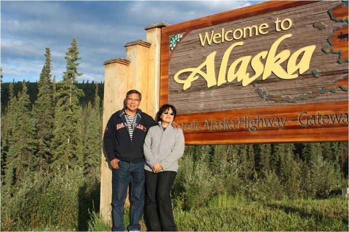
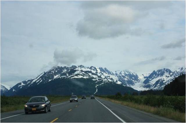
Road to Alaska after crossing the Yukon-Alaska (Canada-US) border. Right, the Alaska Mountain Range
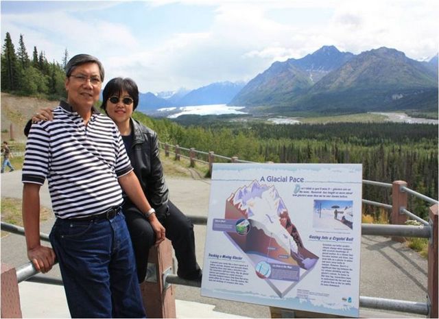
The white streak in the background is the 27-mile long moving Matanuska Glacier as seen from Glenn Highway and about two-hour drive from Anchorage
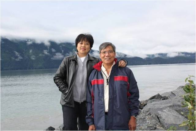
Along the scenic road to Seward, Alaska. At the back is the Turnagain Arm (inlet) and the Kenai Peninsula, the playground of Alaska and location of the city of Homer, the Halibut capital of the world.
Portage Lake and Portage Glacier in the background.
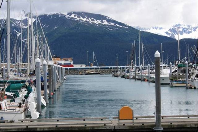
Seward Harbor and the Kenai Mountain Wildlife Refuge at the back.
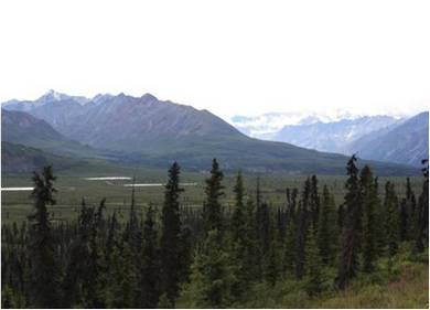
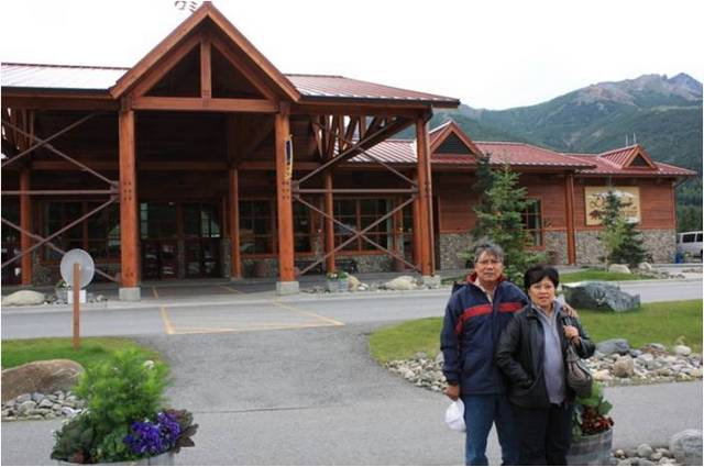
Road to Fairbanks, Alaska. At the background is Denali National Park where Mt. McKinley, the highest peak in North America, is located.
Denali National Park
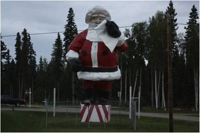
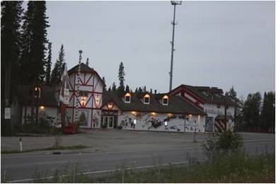
City of North Pole in Alaska, south of Fairbanks.
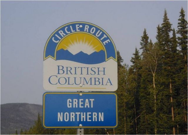
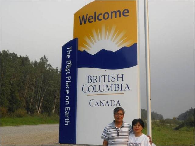
Driving back to British Columbia . . .
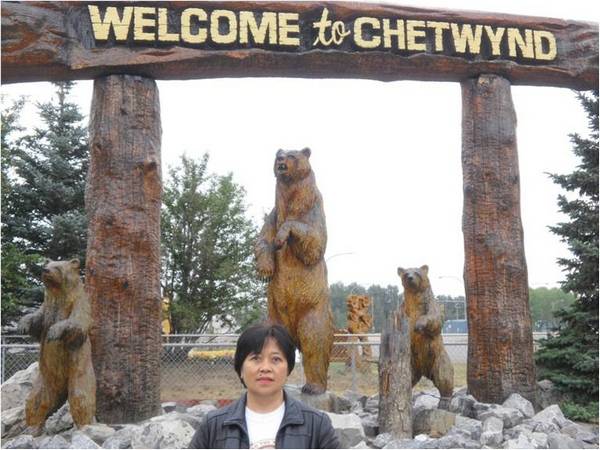
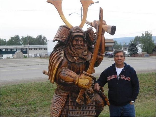
Some of the winning sculptures during an international competition at Chetwynd, BC
Back to Fraser Valley in BC . . . Home Sweet Home.
~~~~~~~~~~~~~~~~~~~~~~~~~~~~~~~~~~~~~~~~~~~~~~~~~~~
Q & A
Question:
Vic Battad's narration and pictures of his
Alaskan highway adventure are very nice and it ignited the adventurous
part of me. Ed Abon, 2-22-12
Answer:
We took the trip in August 2011 --- summer is
the best time to travel to Alaska as there is plenty of daylight and it's
not that cold. If you want to see the awesome Aurora Borealis or "dancing
lights" though, you have to sacrifice and make your travel the fall or
late October.
|